VISUAL IMAGERY INTO VALUABLE INSIGHTS
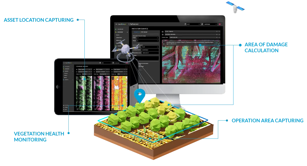
Over the past few years, drones and satellites have made it easy to capture detailed imagery, illuminating vegetation health not visible to the naked eye. We've created a cloud-based platform to process, store and present this valuable imagery with dynamic, online map views.